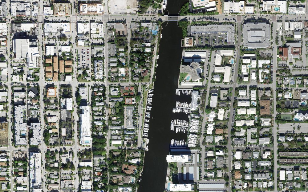
What to expect: seawall sheet piling
The new seawall along northern Marine Way is a wall of interlocking steel sheet piles. Below is general information on how coastal seawall sheet piling is typically done and what neighbors usually notice. It is not the project’s work plan. Items specific to Marine Way are marked Planned and come from the proposed schedule.
How it is typically done
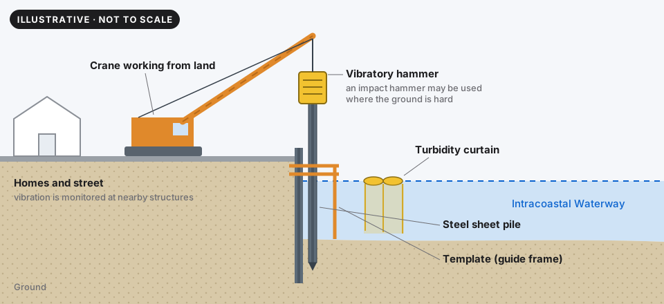
- Set up the crane. A crane lifts and places the piles. On some coastal jobs the crane works from a barge in the water; on Marine Way it is planned to work from land, behind the seawall line. Floating turbidity curtains go in the water beside the work area first.
- Set the piles in a template. A steel guide frame, called a template, holds each pile straight and in line, and each pile locks into the one next to it.
- Drive the piles. A vibratory hammer clamped to the top of the pile shakes it down into the ground. Where the ground is hard and a pile stops moving, an impact hammer may be used to finish it.
- Cap and finish. The piles are cut to height, a concrete cap is built on top, and the ground behind the wall is filled and rebuilt.
What you may notice
- A crane working along the seawall line. On Marine Way it is planned to work from land.
- Rhythmic noise and vibration during work hours while piles are being driven. An impact hammer, if used, makes a louder, repeated banging.
- Turbidity curtains: floating barriers with a hanging skirt that keep stirred-up sediment inside the work area.
- Temporary changes to dock and boat access near the active work.
How it is usually managed
- Vibration is measured at nearby buildings, with limits that stop the work if they are reached.
- Nearby buildings are surveyed and photographed before work starts, so any change can be checked later.
- Turbidity curtains are inspected and kept in place while in-water work goes on.
- Neighbors and boaters get notice before in-water work and dock changes.
On Marine Way Planned
- Crane: planned to work from land (landside), not from a barge.
- Seawall sheet piling: planned 19 Feb 2027 to 23 Apr 2028. Main seawall piling is planned 8 Aug 2027 to 3 Feb 2028. A crane with a vibratory hammer installs the new steel sheet-pile wall and the pump station cofferdam.
- Vibration: vibration and settlement next to the historic homes are monitored continuously against stop-work limits, and nearby structures get a condition survey before work starts.
- In the water: in-water seawall work is done inside floating turbidity barriers.
- Docks: existing docks along North Marine Way are removed and salvaged (planned Sep to Oct 2027) and rebuilt (planned Sep 2028 to Jan 2029).
- Work hours, noise limits and quiet hours: To be confirmed.
Planned items: crane working from land, Man-Con project team (November 2026); Exhibit A.1 Accepted GMP Schedule (CPM), 14 September 2026, proposed until the City executes the GMP amendment; plan sheet C4.0 (turbidity barriers), Project 17-047, prepared by WGI. Dates can change. Schedule · A day on site · Questions
The proposed design
The City’s public outreach presentation lists these proposed improvements, alongside the new seawall and stormwater pump station:
- Roadway reconstruction with curb and gutter
- Stormwater system improvements, including infiltration trenches that help groundwater levels recover after storms
- Replacement and upgrade of the water and sewer mains
- Pedestrian lighting and signage
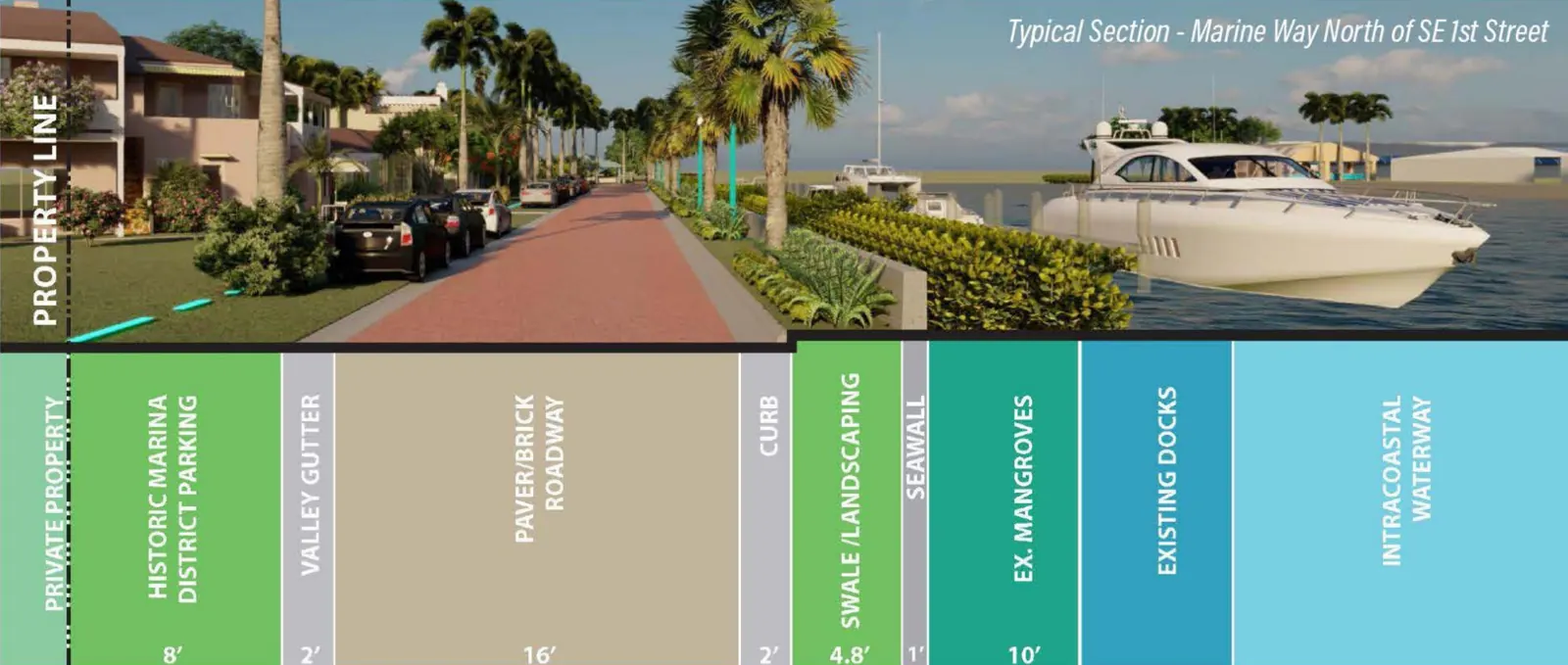
Sources: “Marine Way Public Outreach Meeting” and “Proposed improvements: Roadway, Drainage, Utilities, Pedestrian Lighting and Signage” slides (WGI), City of Delray Beach. See the renderings and today’s photos on Before and after →